
New England Bicycle Guides
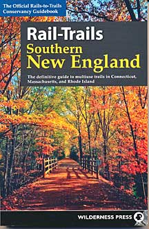
Rail-Trails Southern New England
By Wilderness Press
Paperback, Color Photos and Maps, 204 Pages
This book covers 52 of the best rail-trails and multiuse pathways within Connecticut, Massachusetts and Rhode Island. At-a-glance summary information indicates permitted uses, surface type, length, and directions to the head of each trail. Included are chapters about the Minuteman Bikeway, Reformatory Branch Trail and Narrow-Gauge Rail-Trail that originate in Bedford, Massachusetts.
Each individual chapter presents a detailed map that includes start and end points, trailheads, parking and restroom facilities, plus other amenities. This book is interesting for the railroad historian, too!
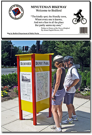
Minuteman Bikeway Map
Produced by the Bedford DPW
Color, Double-Sided Printing, Folded
This is a paper version of the large rail-trail map that appears on the kiosk at Bedford Depot Park. It covers the Minuteman Bikeway in Arlington, Lexington and Bedford plus the Reformatory Branch Rail-Trail between Bedford and Concord and the Narrow-Gauge Rail-Trail between Bedford and Billerica.
The map identifies points of interest, historical sites, parking lots and public amenities.
The map's reverse side highlights Bedford's historical properties, the historical significance of the 1877 Billerica & Bedford Railroad and the restored ex-Boston & Maine Budd Rail Diesel Car that is at Depot Park.
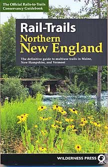
Rail-Trails Northern New England
By Wilderness Press
Paperback, Color Photos and Maps, 218 Pages
This book covers 60 of the best rail-trails and multiuse pathways within New Hampshire, Maine and Vermont. At-a-glance summary information indicates permitted uses, surface type, length, and directions to the head of each trail. Each individual chapter presents a detailed map that includes start and end points, trailheads, parking and restroom facilities, plus other amenities. This book is also interesting for the railroad historian!
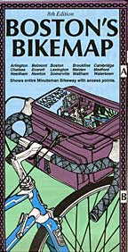
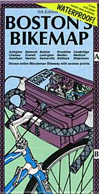
Boston's Bikemap, 8th Edition, Paper
More road names, additional and updated bike routes, new bikeways, bicycle shops and several other improvements. Shows the entire Minuteman Bikeway with access points. Featured towns include:
Arlington • Belmont • Boston • Brookline • Cambridge • Chelsea • Everett • Lexington • Malden • Medford • Needham • Newton • Somerville • Waltham • WatertownPlastic version also available.
Boston's Bikemap, 8th Edition, Durable Plastic
More road names, additional and updated bike routes, new bikeways, bicycle shops and several other improvements. Shows the entire Minuteman Bikeway with access points. Featured towns include:
Arlington • Belmont • Boston • Brookline • Cambridge • Chelsea • Everett • Lexington • Malden • Medford • Needham • Newton • Somerville • Waltham • WatertownLower cost paper version also available.
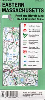
Eastern Massachusetts, 2nd Edition, Paper
Road and Bicycle Map, Bed & Breakfast Guide
Ice Cream Shops, Bed & Breakfasts, Country Inns, Mountain Biking Trail Areas, Recommended Bicycle Roures and Paths, Commuter Rail, Bicycle Shops, StatePark Campgrounds, Swimming Spots, Picnic Areas
Plastic version also available.
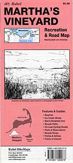
Martha's Vineyard and Nantucket Island Recreation & Road Map , Paper
Beaches, Ice Cream Shops, Bed & Breakfast Inns, Bicycle Paths, On-Road Cycling Routes, Parks and Reservations, Bicycle Shops, Ferries and Airlines, Points of Interest
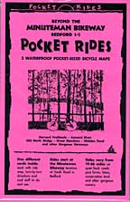
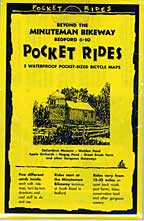
Beyond the Minuteman Bikeway Pocket Guide, Bedford 1-5
Five Waterproof Pocket-Sized Bicycle Maps
Harvard Fruitlands * Concord River * Old North Bridge * Great Meadows * Walden Pond * Other Gorgeous Gateways
- Five different cards, each with ride map, turn-by-turn directions and cool stuff to do and see.
- Rides start at the Minuteman Bikeway terminus at South Road in Bedford.
- Rides vary from 19-56 miles on quiet back roads, past farms, lakes, conservation land and other beautiful scenery.
Beyond the Minuteman Bikeway Pocket Guide, Bedford 6-10
Five Waterproof Pocket-Sized Bicycle Maps
DeCordova Museum * Walden Pond * Apple Orchards * Nagog Pond * Great Brook Farm * Other Gorgeous Gateways
- Five different cards, each with ride map, turn-by-turn directions and cool stuff to do and see.
- Rides start at the Minuteman Bikeway terminus at South Road in Bedford.
- Rides vary from 12-32 miles on quiet back roads, past farms, lakes, conservation land and other beautiful scenery.
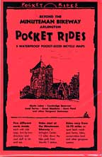
Beyond the Minuteman Bikeway Pocket Guide, Arlington
Five Waterproof Pocket-Sized Bicycle Maps
Mystic Lakes * Cambridge Reservoir * Local Farms * Great Meadows * Farm Pond * Other Gorgeous Gateways
- Five different cards, each with ride map, turn-by-turn directions and cool stuff to do and see.
- Rides start at the Minuteman Bikeway in Arlington Center, 1.5 miles north from the MBTA Alewife Red Line Station.
- Rides vary from 16-70 miles on quiet back roads, past farms, lakes, conservation land and other beautiful scenery.
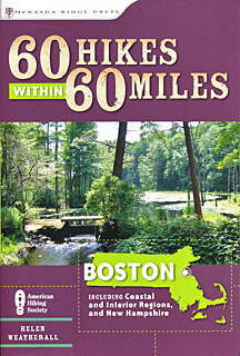
60 Hikes Within 60 Miles: Boston
By Menasha Ridge Press
Paperback, Black and White Photos and Maps, 374 Pages
Using clear and entertaining narrative, this book eliminates doubts about where to hike and what to expect when you reach the trailhead. This guide is indispensable for locating and assessing the best hikes within a 60-mile radius of Boston, Massachusetts. Choose from short and long hikes, hikes for children, dog-friendly hikes, seaside hikes, river hikes, hikes with wheelchair-accessible sections, and many others.
The book includes detailed directions to the trailheads, GPS-based trail maps with accurate hiking information, and GPS-based elevation profiles. Whether you reside within Boston or places to the north, south or west, 60 Hikes Within 60 Miles: Boston will provide you with the information you need to choose an ideal day hike in your area.